
Jefferson County Block Sources
Public sources describe different parts of a Jefferson County block. LOJIC defines the physical parcel pattern. PVA adds assessed ownership and property facts. Regulated voter data can supply selected street-order fields, while permits describe public cases and neighborhood groups publish civic contacts. Use each only for what it proves.
| Source | What It Shows About a Block | Access |
|---|---|---|
| LOJIC Online | Parcel outlines, addresses, nearby lots, imagery, neighborhood and ZIP layers | Free public viewer and open data |
| Jefferson County PVA | Owner, parcel ID, value, acreage and neighborhood on basic results | Free by address or parcel; more fields by subscription or office/library access |
| Kentucky voter file | Approved street-order fields such as name, address, age code, party, gender, ZIP and five-year participation history | SBE-84 request with oath, purpose, scope, format and payment |
| Louisville Metro Accela | Public permit, planning and code case fields near an address | Public portal; older planning docket route |
| Metro Council community lists | Public association names, contacts, meeting or newsletter links | District pages and association contact |
An owner is not always an occupant. A mailing address can point elsewhere, and a registered voter file does not include every person at a home. Treat each record as a dated claim from its custodian rather than calling nearby owners a complete set of neighbors.
Start With a Jefferson County Parcel
Search the address in LOJIC Online and confirm the property address, parcel ID, assessed value, acreage, neighborhood, and owner shown in its parcel report. Keep the parcel ID or LRSN as the stable key. Street numbers and postal labels can be less reliable, especially near home-rule cities or after an address change.
LOJIC offers Basic, Gray, Aerial, and Base views, plus layer controls, historic imagery, measure, print, and reports. Save a dated map. It should show which lots were reviewed and prevent a vague radius search from turning into claims about a whole area.
Map Jefferson County Neighbors
The Louisville planning guide defines first-tier adjacent parcels and properties across a street or alley. It also describes a second-tier review within 500 feet. That gives a clear block method without pretending that a map shows household membership.
- Find the anchor address and confirm its parcel ID.
- Click each lot that shares a boundary, then review lots across the street or alley.
- Use a buffer only when a wider, stated distance is needed, and save the map date.
- Open PVA records for the selected parcels and label each name as an owner, not a household.
For every address on a named road, use the Jefferson County street directory workflow instead. The block process stays limited to the immediate parcels and their public community context.
Owners Are Not Jefferson County Households
The free PVA Address search can return all parcels on a road and show basic owner and parcel fields. A subscription adds mailing address, assessment and sales history, deed book/page, class, district, sketches, year built, and other facts. The PVA says paid data can also be accessed at its office and Louisville libraries.
Even rich property data does not establish who sleeps at a house. A parcel may be owned by a trust, company, estate, or person who lives elsewhere. Homestead information, when present, is an assessment clue only. It is not a list of Jefferson County neighbors.
- Situs address
- The physical location of the parcel.
- Mailing address
- The destination for tax correspondence, which may be elsewhere.
- Buffer
- A measured area drawn around a map feature to select nearby parcels.
- First-tier parcel
- A lot touching the anchor lot or facing it across a street or alley.
Jefferson County Voter Street Data
Kentucky's online voter tool is for a voter to check or update their own record. It is not a public name-only block directory. A county or precinct file uses the separate SBE-84 request and asks for eligibility, purpose, geographic scope, output format, payment, and delivery details.
Under 31 KAR 3:010, street-order data can include voter name, address, age code, party, gender, ZIP, and five-year voting history. It does not reveal ballot choices. Full birth dates, Social Security numbers, email, driver identifiers, and Safe at Home residence data are not ordinary public fields. A nonmatch proves little about residence.
Louisville Neighborhood Contacts
Community groups add a public civic layer, not a private member roster. Louisville Metro Code section 161.38 calls for a yearly directory of neighborhood organizations. Metro Council district pages publish names and contacts for many groups, while some associations maintain newsletter or meeting links.
District 4
Association directory for central Louisville groups and business associations.
District 6
Community organizations with public neighborhood and meeting context.
District 8
Neighborhood and home-rule city list for eastern Louisville areas.
Use the listed public contact to ask about meetings, archives, or newsletters. Do not ask a group to disclose a private roster. Global Louisville's directory can also route a resident to services by language or subject without exposing private members.
Cases Around a Jefferson County Block
Louisville Metro's Accela portal searches public permits, planning matters, code cases, and licenses by fields that can include an address or parcel. Use it after selecting parcels in LOJIC. Planning guidance covers 2007 to the present and gives an older docket route.
A nearby permit can explain construction or a public notice. It does not prove who occupies the parcel. Record the case number, type, status, and date. Dashboards add geographic code context, while an open-record request is the fallback for public material absent from the portal.
Official Rolls and Neighbor Tools
Official records identify the custodian, field meaning, and update context. Commercial neighbor tools may combine old addresses and names without showing how the match was made. That makes them poor proof for a Jefferson County block.
| Source type | Strength | Limit |
|---|---|---|
| Official parcel and deed rolls | Stable parcel IDs and recorded parties | Ownership is not occupancy |
| Official voter or permit records | Defined public fields and dated events | Restricted scope and incomplete household coverage |
| Commercial compiled tools | Quick broad hints | Source dates, corrections, and matches may be unclear |
Confirm any useful hint with the office that keeps the record. Never treat a compiled list as a current roll of your neighbors.
Privacy for Jefferson County Neighbors
Public block research does not reveal every occupant, utility account, delivery record, or private association member. Kentucky Safe at Home gives eligible survivors a substitute address for public records, including voter registration. Agencies accept that substitute address and withhold the real one under ordinary disclosure rules, subject to statutory exceptions.
The official Safe at Home program is shown below. Its presence is a reminder that an apparent public address may be deliberately substituted.
Real-estate holdings can fall within an exception, so no source promises total invisibility. Still, protected address data must never be copied into a block list.
Lawful use. Research Jefferson County neighbors for civic contact, reconnecting, or personal awareness. Never use records to watch, harass, threaten, or intimidate anyone.
Jefferson County Record Fallbacks
If a portal fails, move to the custodian. The PVA office and Louisville libraries provide property access. The Clerk's Deed Room handles older recorded instruments. Metro Archives and LFPL hold historical directories. Kentucky voter-file requests follow the state form. Public court files route through the Jefferson District, Circuit, or Family Court office that keeps them.
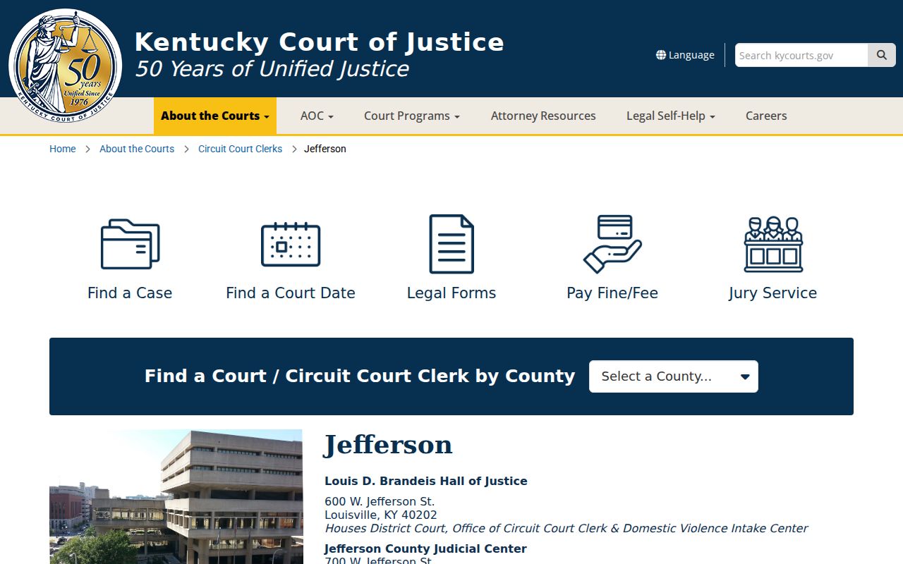
The Jefferson court location page is pictured below. Court data concerns cases and parties, not a block roster.
Keep the case or record series separate from the map. A person named in a public file should not be described as a current neighbor without a current, lawful source.
Jefferson Boundaries Change the Block
A Louisville mailing address does not settle every local boundary. Jefferson County contains Louisville Metro and separate home-rule cities and taxing jurisdictions. The PVA describes 83 incorporated taxing jurisdictions. LOJIC separately maps parcels, neighborhoods, ZIP polygons, council districts, precincts, and municipal boundaries. One address can carry a Louisville postal city, a named neighborhood, another incorporated jurisdiction, and a precinct label. Keep each field rather than forcing them into one place name.
A block search in St. Matthews, Jeffersontown, Shively, Anchorage, Prospect, or another home-rule city may return Louisville as the postal city while local records use the incorporated name. The LOJIC neighborhood map supplies community context, but the parcel report and municipal layer decide mapped jurisdiction. USPS validates the mailing form. Neither source alone identifies every organization serving the block.
The 2026 voter-address review gives a live example. The Clerk reported a precinct review and later sought guidance involving 211 voters at 137 addresses, mainly near Willow Creek and the Jefferson-Oldham border. Those figures describe one boundary matter, not every address. Check current parcel, precinct, district, and county layers before assuming the next house shares a ballot or jurisdiction.
Older blocks add another layer. Louisville changed many street numbers in 1909, and annexation or subdivision names may differ across directories, deeds, maps, and modern GIS. Save the source date, original spelling, old number, parcel ID, and normalized address. Historical imagery and Sanborn maps can show how the block changed, while the deed legal description connects land when the street label moved.